Drone 2 min read
Flying near SRQ: how airspace shapes a drone shoot
Parts of Sarasota and Bradenton sit close to the airport. Here’s how instant LAANC approval keeps a drone booking on schedule.
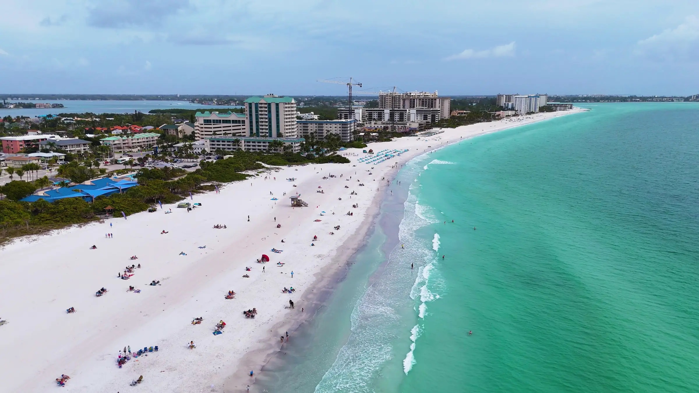
Sarasota Bradenton International Airport sits between the two cities, and the controlled airspace around it reaches over homes on both sides of the county line. For a drone shoot, that sounds like a delay. Most days it isn’t.
Here’s what changes near SRQ, and what it means for the day you book.
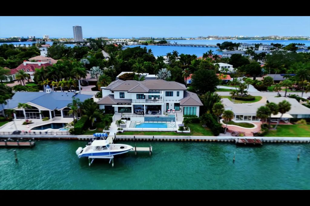
Which listings need approval
Most of Sarasota and Manatee sits outside the airport’s controlled airspace, so most listings need no approval at all. The ones that do are closest to SRQ: on the bay nearby and in the neighborhoods around the airport itself.
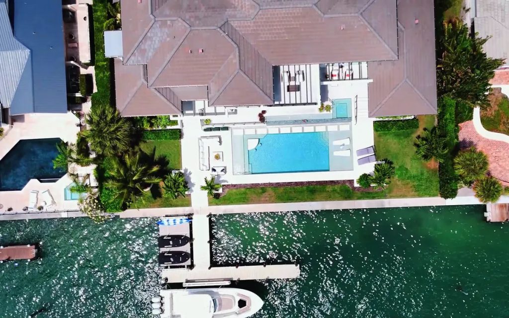
Near the airport, approval through LAANC
For a home inside that airspace, we request FAA approval through LAANC, the FAA’s automated system for drone flights near airports. It’s usually instant, so there’s no extra notice to give, and the flight goes ahead on the day you booked.
Most of Sarasota and Manatee is open to fly. Near SRQ, the approval is usually instant.
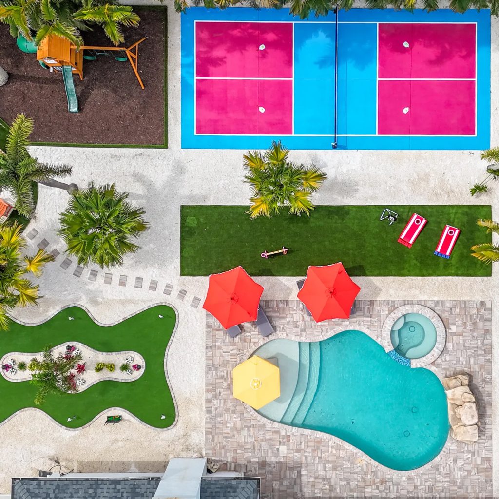
A height limit, and why it rarely shows
An approval near the airport can come with a lower ceiling than the usual 400 feet. Listing aerials are mostly taken well below that, where the roof, the pool and the lot all read clearly, so the photos look the same either way.
What to send when you book
The address is all we need; we check the airspace when the order comes in. If the weather closes in, the whole shoot moves to the next clear day that suits you, and rescheduling for weather is free.
Aerial photos and aerial video are priced flat, and the aerial and drone page has every price.
Questions before the day? Call or text 941-207-8994.